image

Copernicus Touchbook

How to make the most of the largest Earth Observation program ever made.

The customer’s request:

The Copernicus project is the largest Earth Observation program ever promoted by the European Commission with the support of ESA for the construction of a constellation of satellites and the Environment Agency (EEA) for Earth data detection.

The articulated nature of Copernicus, technical and difficult to understand by a non-technical public, brought ESA to contact us initially to convert an institutional brochure into a digital tool, applied to the general public with the aim of describing the program and the actors involved.

Our answer:

As soon as the customer’s request arrived, we immediately realized the enormous potential of this project: we had the opportunity to develop an innovative digital tool that really presented all the value and potential of the program from different points of view, given the nature and the flexibility of the object we had in our hands.

With this idea in mind, we have created the architecture of the project on several conceptual levels: on the one hand we have created an institutional, digital communication tool, able to speak to stakeholders and the most experienced public, but in parallel we have created it another able to speak directly to those citizens who will be the true beneficiaries of the program for the first time.

Thus was born the Copernicus touchbook, a project born from a real teamwork that from 2016 to 2018 involved us directly together with many experts of the contents of ESA and the European Commission to give life to a unique and innovative communication tool that was at the height of the program it was to represent.

Most of the work was dedicated to the storytelling part for each Copernicus application, to describe their impact on everyday life. Different stories have thus seen the light that use all the tools to engage the reader such as quizzes, games, interactive infographics, 3D animations, video and audio to explain to everyone the connections between satellite data and the services that can derive from them to improve. the quality of our life.

Sentinel-5P: infografica

La richiesta del cliente

L’obiettivo principale della missione Copernicus Sentinel 5P è effettuare misurazioni atmosferiche dettagliate per far comprendere a tutti noi più da vicino le possibili cause dell’effetto serra e della generazione dei 5 gas prodotti da fonti naturali e non naturali (incendi, deforestazione, contaminazione ambientale, inquinamento, ecc.) Lo strumento per rilevare questi importantissimi dati è Tropomi, un dispositivo interno al satellite che registra costantemente queste informazioni utili per sensibilizzare e renderci consapevoli dello stato di salute del pianeta in cui viviamo. Nel 2017 l’ESA ci ha incaricato di intervenire su un importante progetto di storytelling volto a raccontare la missione Sentinel5P in modo semplice e chiaro.

La nostra risposta

A questo proposito abbiamo realizzato un’infografica che spiega in modo del tutto versatile l’impatto dei gas serra sull’atmosfera. La complessità del progetto è legata alla realizzazione di un fenomeno ambientale che l’essere umano non percepisce pienamente.

Utilizzando l’infografica abbiamo potuto declinare e veicolare queste informazioni con facilità, con icone, immagini e testi sui canali social e offline, potendo contare su uno strumento chiaro e facilmente fruibile, oltre che di notevole impatto visivo.

Sentinel-5P infographic

The customer’s request:

The main objective of the Copernicus Sentinel 5P mission is to perform detailed atmospheric measurements to make all of us understand more closely the possible causes of the greenhouse effect and the generation of the 5 gases produced by natural and non-natural sources (fires, deforestation , environmental contamination, pollution, etc.) The instrument for detecting these very important data is Tropomi, a device inside the satellite that constantly records this information useful for raising awareness and making us aware of the state of health of the planet in which we live. In 2017, ESA commissioned us to intervene on a significant storytelling project aimed to tell the Sentinel5P mission in a simple and clear way.

Our answer:

In this regard, we have created an infographic that explains the impact of greenhouse gases on the atmosphere in a completely versatile way. The complexity of the project is linked to the realization of an environmental phenomenon that the human being does not fully perceive.
Using the infographic we were able to decline and convey this information with ease, with icons, images and texts on social and offline channels, relying on a clear and easily usable tool, as well as having a considerable visual impact.

ONDA DIAS

ONDA DIAS

The customer’s request:

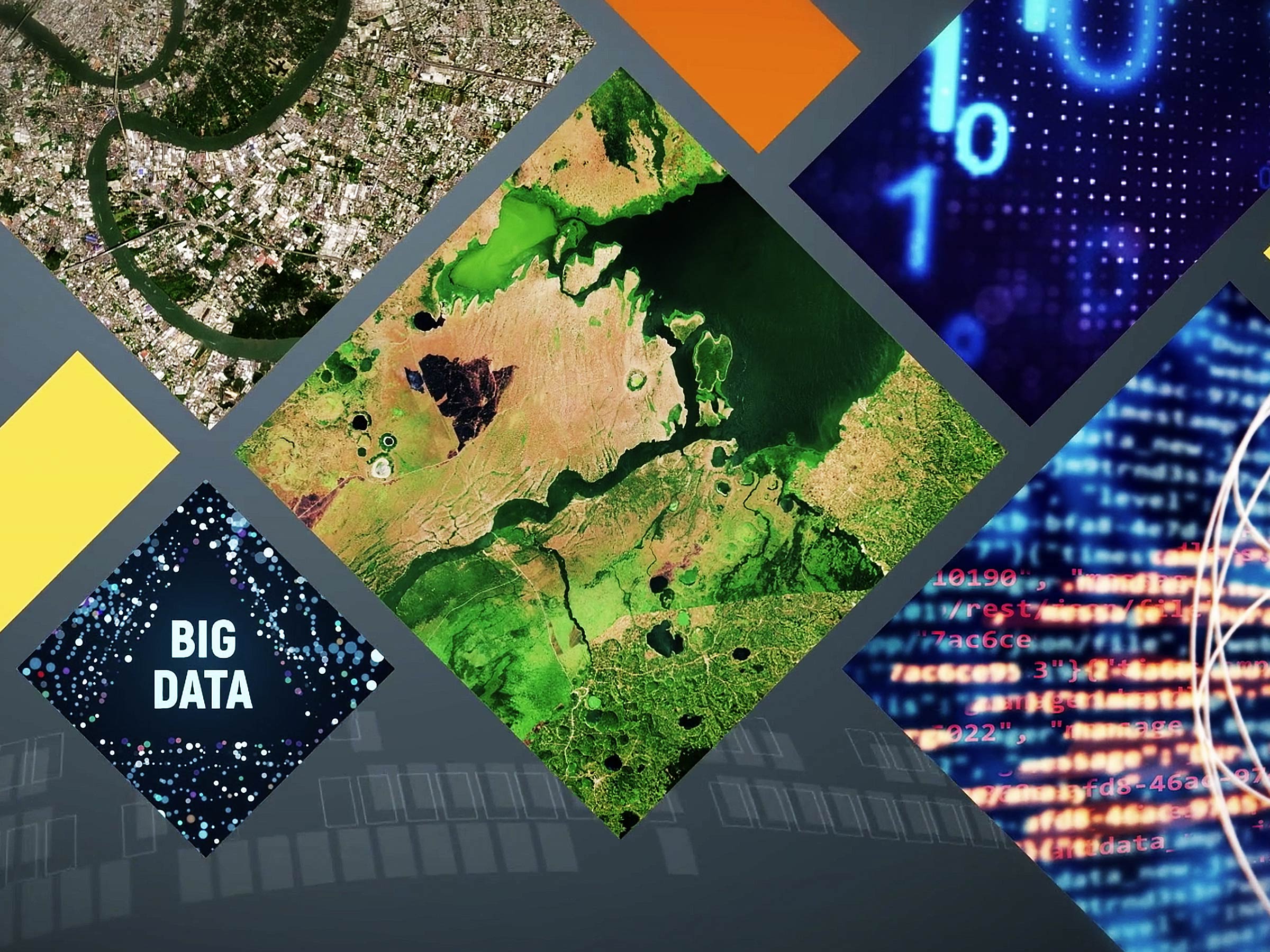
One of the main difficulties with which the European Commission has had to interface in recent years is the management and storage of the countless information of Big Data provided by Copernicus satellite analysis tools.
It was therefore necessary to set in on the methods of conservation and processing of the same, favoring the use of intelligent instruments that could govern and stem this criticality.

For this reason the Commission has made available a tender won by four consortia, including SERCO Italia, which has become the leading reality for the creation of ONDA Dias (data information access service), sophisticated and cutting-edge instrumentation open to all, simple versatile based on an open cloud service.

Our answer:

For the launch of the Dias platforms, in 2018, SERCO commissioned us to create a promotional video, roll up and flyer in which the multiple function of Onda and its great versatility of use, fruition and above all its exclusivity.
For the Roll up and the flyer it was decided to focus on the appeal and considerable communicative power of augmented reality.
The video was created with great care, starting from a detailed and precise script, continuing with the choice of particular and unique motion graphics that have been able to enhance and tell the potential of this tool to Copernicus stakeholders on the occasion of the 20 years since the first kickoff. of Baveno.

On this occasion, the video we made was shown during the official presentation of the event, bringing Onda to an effective and highly successful level of exposure.

AIDEO

AIDEO

The customer’s request:

Aideo is a scientific research project funded by ESA and unearthed in November 2019. Its acronym stands for Artifical Intelligence and Earth Observation data.

It is a very complex research project since it is going to use Copernicus EO data analysed by the most sophisticated deep learning approaches to realise an early warning system to alert areas that could be impacted by Nyle disease.

Since the complexity of the message, Remedia was asked to be part of the consortium that has to perform the needed activties to manage all the communication activities needed to disseminate the result of the project and create awareness.

Our answer:

Remedia elaborated a dissemination plan and produced different promotional tools for online and offline use.

The activity started with the design of the identity of the project, and followed with the design of the website as main communication tool. We then produced digital and paper flyers, a video and several presentation to be used during event and conferences also in their virtual edition. The advent of Covid-19 Pandemic have in fact requested a quick change of strategy and a massive use of digital tools, but we successfully engaged the main stakeholders throughout the communication process, despite the restrictions, despite the unexpected.

The project, was funded through the EO Science for society of ESA initiative. It closed in September 2020 with great enthusiasm of ESA which presented our work with satisfaction and positive feedback in many conferences and initiative that followed its closure.